
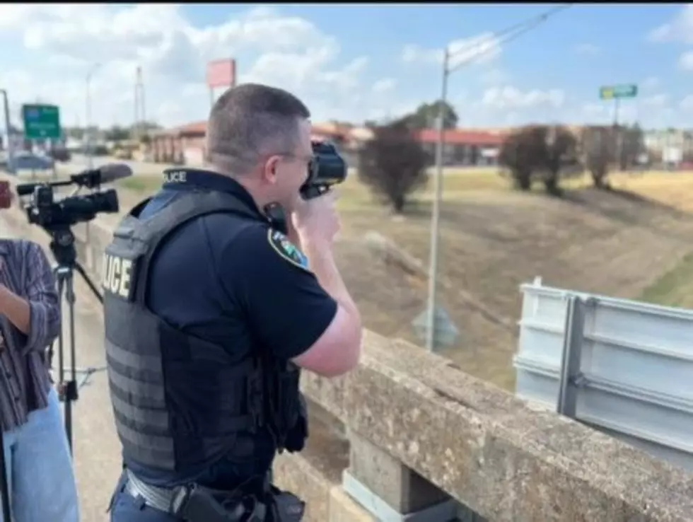
Shreveport Police Use LiDAR- But What is it?
Recently, the Shreveport Police department targeted speeders on I-20 using LiDAR. They didn;t use RADAR, so what is LiDAR and how is it different?

LiDAR once sounded like technology reserved for scientists, military aircraft and self-driving cars. Today, it can be found in phones, robot vacuums and robotic lawn mowers. The name stands for Light Detection and Ranging, but the idea behind it is simple.
How LiDAR Actually Works
A LiDAR sensor sends out pulses of laser light. The device measures how long each pulse takes to hit an object and return. Since light travels at a known speed, the system can calculate the distance to walls, trees, furniture, vehicles or the ground.
Thousands of those measurements can be combined into a three-dimensional map. That map helps a machine understand where it is, what surrounds it and how it can move without hitting something.
What’s the Difference between LiDAR Versus Radar
LiDAR and radar use a similar process, but they send out different signals. LiDAR uses light, while radar uses radio waves.
READ MORE: Shreveport Police Target I-20 Speeding in Massive Operation
LiDAR is useful when a device needs a sharp picture of nearby surroundings. Radar can usually work over longer distances and through rain, fog or dust more effectively. It is also used to track movement and speed.
A simple way to remember the difference is that LiDAR is often better at creating a map, while radar is often better at detecting something farther away.
Where Is LiDAR Being Used?
People may be surprised by how many jobs already depend on LiDAR:
- Robotic lawn mowers map yards, recognize obstacles and navigate under trees.
- Robot vacuums create room maps and plan more efficient cleaning routes.
- Some phones and tablets measure rooms, improve photos and power augmented-reality features.
- Archaeologists use airborne LiDAR to find roads, foundations and settlements hidden beneath thick vegetation.
- Surveyors and emergency planners map coastlines, flood zones, landslides and storm damage.
- Foresters measure tree height, vegetation and the amount of timber across large areas.
- Cars, drones and robots use LiDAR to identify nearby objects and travel more safely.
- Spacecraft can use LiDAR to map asteroids, examine distant terrain and choose safer landing areas.


Older LiDAR systems were large, complicated and extremely expensive. New semiconductor lasers, smaller sensors and solid-state designs can be produced with fewer moving parts and less power.
The result is technology that can now fit inside consumer products. LiDAR has not suddenly appeared. It has simply become small and affordable enough to move from laboratories into homes, yards and pockets