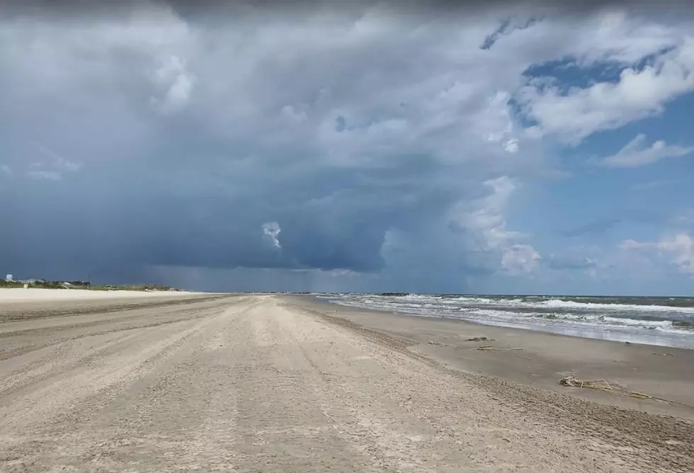
Tropics: Laura Now a Bigger Threat to Louisiana than Marco
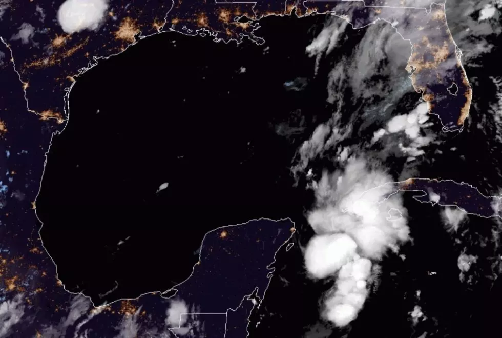
Most of this last week weather geeks, such as myself, have been focusing on the storm system now known as Marco. It seemed to be the bigger threat to Acadiana than Tropical Storm Laura was going to be. In just a day's time that has certainly changed a lot.
The National Hurricane Center's track forecast for Marco now suggests the storm will move toward Louisiana's coast over the weekend and early next week. It is then forecast to take more of a westerly jog and make an eventual landfall on the Texas coast.
Marco's path will be close enough in proximity to increase the threat of tropical downpours, showers, and some gusty breezes. As of Saturday morning the official forecast for Marco keeps the system below hurricane strength at landfall.
Tropical Storm Laura is currently skirting across the southern coast of Puerto Rico this morning. Laura is very disorganized at the moment. It is also about to encounter several land masses such as the Island of Hispaniola, and Cuba.
I am not even sure if the system crosses those islands in a disorganized state that it can even hold together. There are some pretty high mountains in the Dominican Republic that have disrupted stronger storms, but that's just my amateur observer two cents.
If the track forecast from the National Hurricane Center holds true for Laura it could be impacting the southeast Louisiana coast as a hurricane on Wednesday. That forecast landfall is well east of Acadiana but we'd still certainly be close enough to collect our share of wet, windy weather.
Of course, all of this will change in the next few days. It has certainly changed a lot in a short period of time. We all need to be weather aware this weekend. We will keep you in the loop with the latest.
Rent This Louisiana Lodge For Less Than $100 Per Night
More From 96.5 KVKI