Google Street View — How Do They Do That?
That question was answered with this photo:

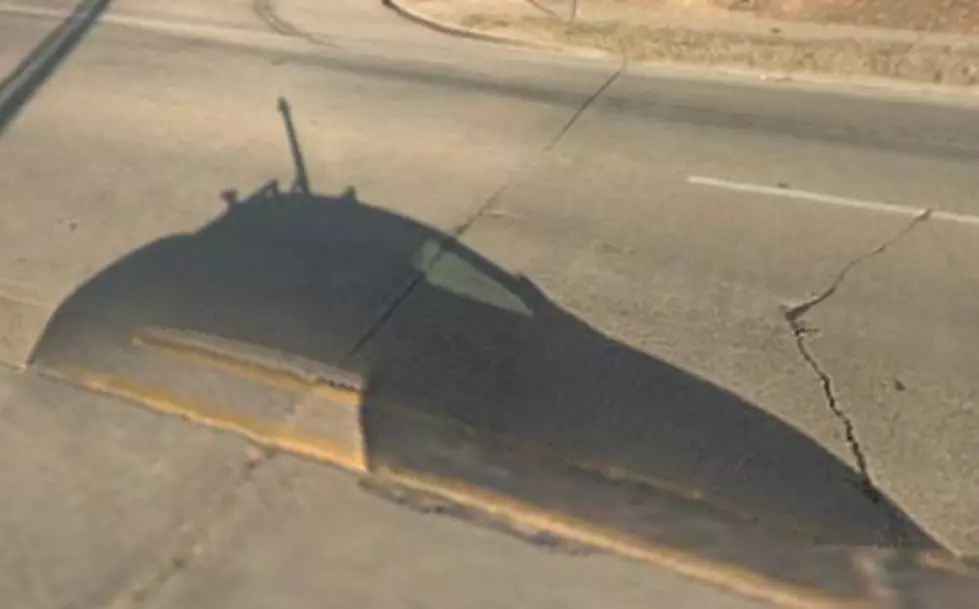
Ah ha! What is that? The sun was apparently out the day this image was taken, because there it is, what I have learned is the "Google street view Car!" It looks pretty futuristic, and no doubt to have the technology to do what it does, it is.
So, if you were also wondering how Google gets these images of the roads, of businesses, street signs, and more -- all in pretty good clarity, this is how. Someone drives a car around town, apparently most every town, and down most every street to capture these images for what we know as Google "street view."
Once I learned about the Google street view Car, I then went and looked for more pics, and found a bunch! Maybe this is something I should have already known about, but I didn't. Guilty!
Here's a pic of a Google street view Car that looks very similar to the shadowed image I found while trolling around earlier.
So now we know. Actually you may have already known, but just in case... ain't it cool?
More From 96.5 KVKI

![Louisiana Woman Barely Escapes Vehicle Prior to Collision With Train [VIDEO]](http://townsquare.media/site/34/files/2022/03/attachment-Screen-Shot-2022-03-07-at-7.49.39-AM.jpg?w=980&q=75)


![Driver Hits Building Then Hits Person and Other Cars in Parking Lot [VIDEO]](http://townsquare.media/site/34/files/2021/06/attachment-Screen-Shot-2021-06-28-at-7.40.11-AM.jpg?w=980&q=75)
![Tips to Cooling Off Your Vehicle During the Summer Months [VIDEO]](http://townsquare.media/site/34/files/2021/06/attachment-Screen-Shot-2021-06-17-at-12.05.12-PM.jpg?w=980&q=75)

![Tesla Engine Says ‘Bruh’ While Car Travels Down Roadway [VIDEO]](http://townsquare.media/site/34/files/2021/02/Screen-Shot-2021-02-24-at-8.07.48-AM.jpg?w=980&q=75)