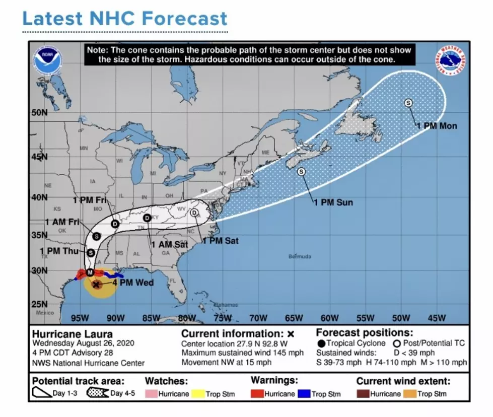
NHC 4:00PM Hurricane Laura Update
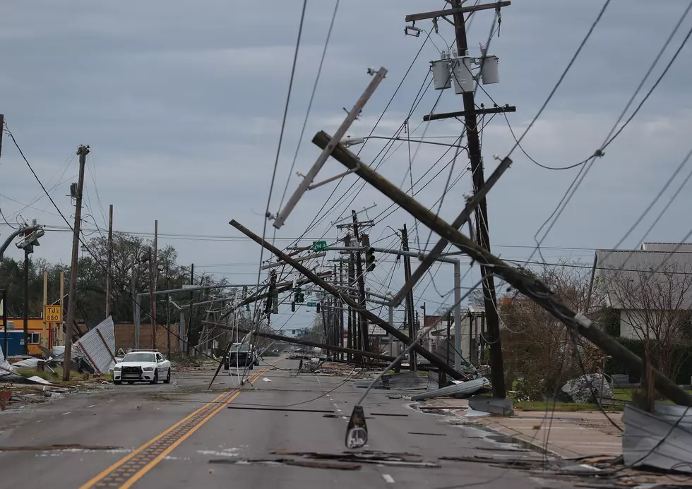
Hurricane Laura has become a strong Category 4 hurricane. Hurricane Laura is a monster storm, unprecedented for the Southwest Louisiana gulf coast. Maximum sustained winds are now 145 mph, higher in gusts. Laura's eye is located at 27.9 N 92.8 W and moving Northwest at 15 mph. The pressure is at 947 mb. Hurricane Laura has intensified by 60 mph in the last 24 hours.
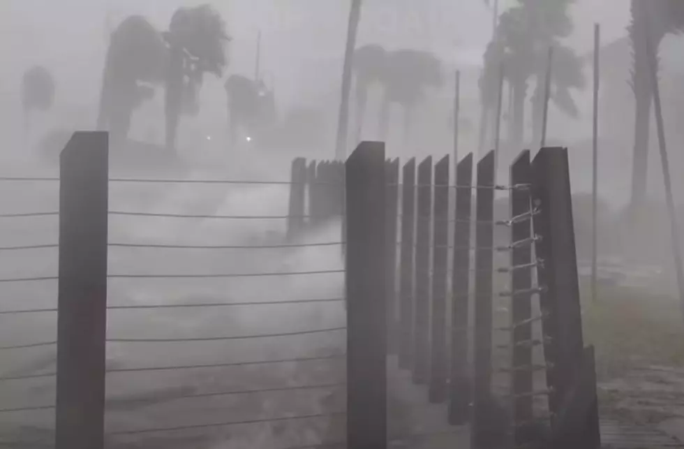
Storm surge off the coast of Southwest Louisiana could be as high as 20 feet. Officials call the storm surge along the coast of Cameron Parish, "unsurvivable". Evacuation of Lake Charles and surrounding areas continues with only hours left to escape. Louisiana officials are asking residents of Southwest Louisiana to go East to Lafayette, Baton Rouge or New Orleans.
Hurricane Laura could become a Category 5 hurricane by the time she makes landfall overnight and into the early morning hours. Weather experts are predicting "hellish" conditions in Lake Charles between midnight and sunrise. The sound of this hurricane barreling over the city will be "deafening".
Laura is predicted to hit Shreveport Thursday afternoon at a Category 1 hurricane.
- Currently located at 27.9 N 92.8 W
- 155 miles south of Lake Charles, Louisiana
- 155 miles SSE of Port Arthur, Texas
- Minimum sustained winds 145 MPH
- Moving NW at 15 MPH
- Hurricane Watch from east of Intracoastal City to west of Morgan City, Louisiana
- Hurricane Warning from San Luis Pass, Texas to Intracoastal City, Louisiana
- Tropical Storm Warning from Sargent, Texas to San Luis Pass, Texas and east of Intracoastal City to the mouth of the Mississippi River
What You Need to Prepare Your Dog for a Road Trip
More From 96.5 KVKI